
Utility Locating in Beaumont, TX
Beaumont invented the Texas oil industry at Spindletop, and a century of petrochemical infrastructure surrounds it: pipeline corridors, industrial services, and plant-adjacent properties where what is underground matters more than almost anywhere in the state.
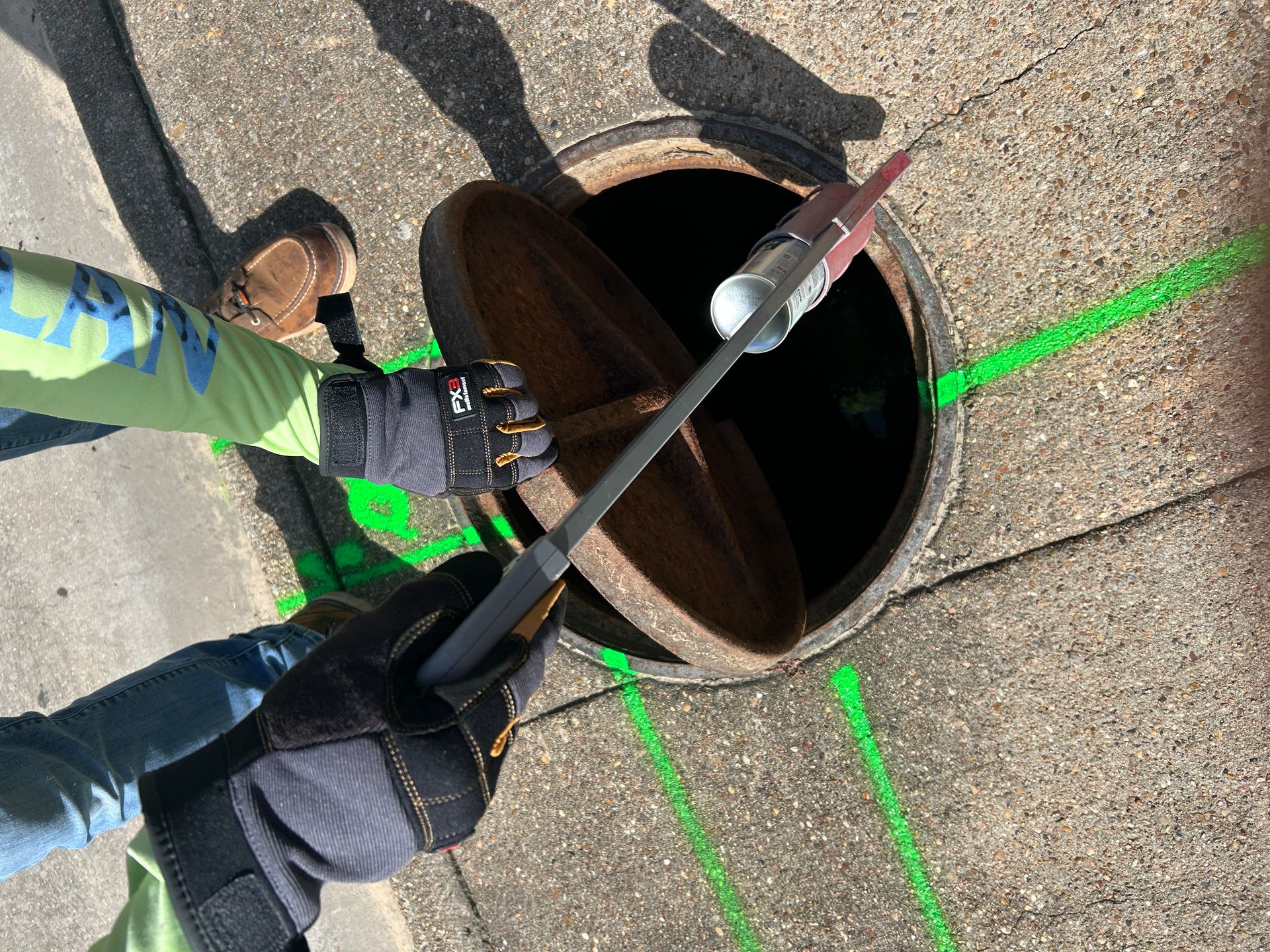
Pipeline country on saturated gumbo
The Golden Triangle's refining and petrochemical complex means pipeline corridors, gathering lines, and industrial services thread the region at densities unmatched outside Houston's ship channel. Plant-adjacent and corridor-adjacent properties inherit that density, and the stakes of a strike there are categorically higher.
The ground is Gulf-coast gumbo, saturated and radar-hostile, with storm-rebuilt infrastructure layered by Rita, Ike, and Harvey. EM locating and measured test holes carry the load.
- Pipeline and gathering corridors threading the region
- Plant-adjacent properties with industrial-grade services
- Saturated gumbo clay limiting radar depth
- Storm-rebuilt infrastructure layered over older systems
- Port of Beaumont and rail corridors adding heavy services
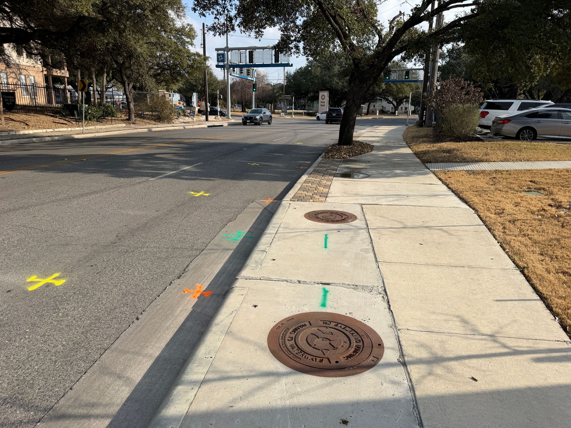
Services We Provide Across Beaumont
Private utility locating, GPR scanning, and concrete scanning for contractors, engineers, and project teams working in Beaumont and Jefferson County.
Private Utility Locating
EM and GPR locating for buried electric, gas, water, sewer, telecom, and unknown lines on private property.
Learn more →GPR Scanning
Ground penetrating radar for non-metallic lines, abandoned pipe, voids, and everything EM locating cannot trace.
Learn more →Concrete Scanning
Rebar, post-tension cable, and embedded conduit located before coring, cutting, or anchoring.
Learn more →Our Beaumont service area
Downtown Beaumont, the port area, the refinery corridors, Port Arthur, Orange, Nederland, and the Golden Triangle.
SiteTwin on Google
Contractors and project teams across Texas use SiteTwin for locating and deliverables they can hand straight to the crew.
View Google ProfileBeaumont Utility Locating FAQs
How do pipeline corridors change a locate?
Do you work on plant-adjacent properties?
Does the gumbo limit radar here like Houston?
Do you cover Port Arthur and Orange?
Do you provide GPS or GIS utility mapping?
When is potholing needed after a locate?
Schedule utility locating in Beaumont
Send the site address and project scope for Beaumont and Jefferson County. We will confirm scheduling and deliverables before we mobilize.
