
For Municipalities & Public Works

Your Streets Know Things Your GIS Doesn't.

City infrastructure outlives every record system used to track it. Street rebuilds, drainage projects, and park improvements keep meeting utilities the GIS never heard of, and every surprise is a change order on a public budget.
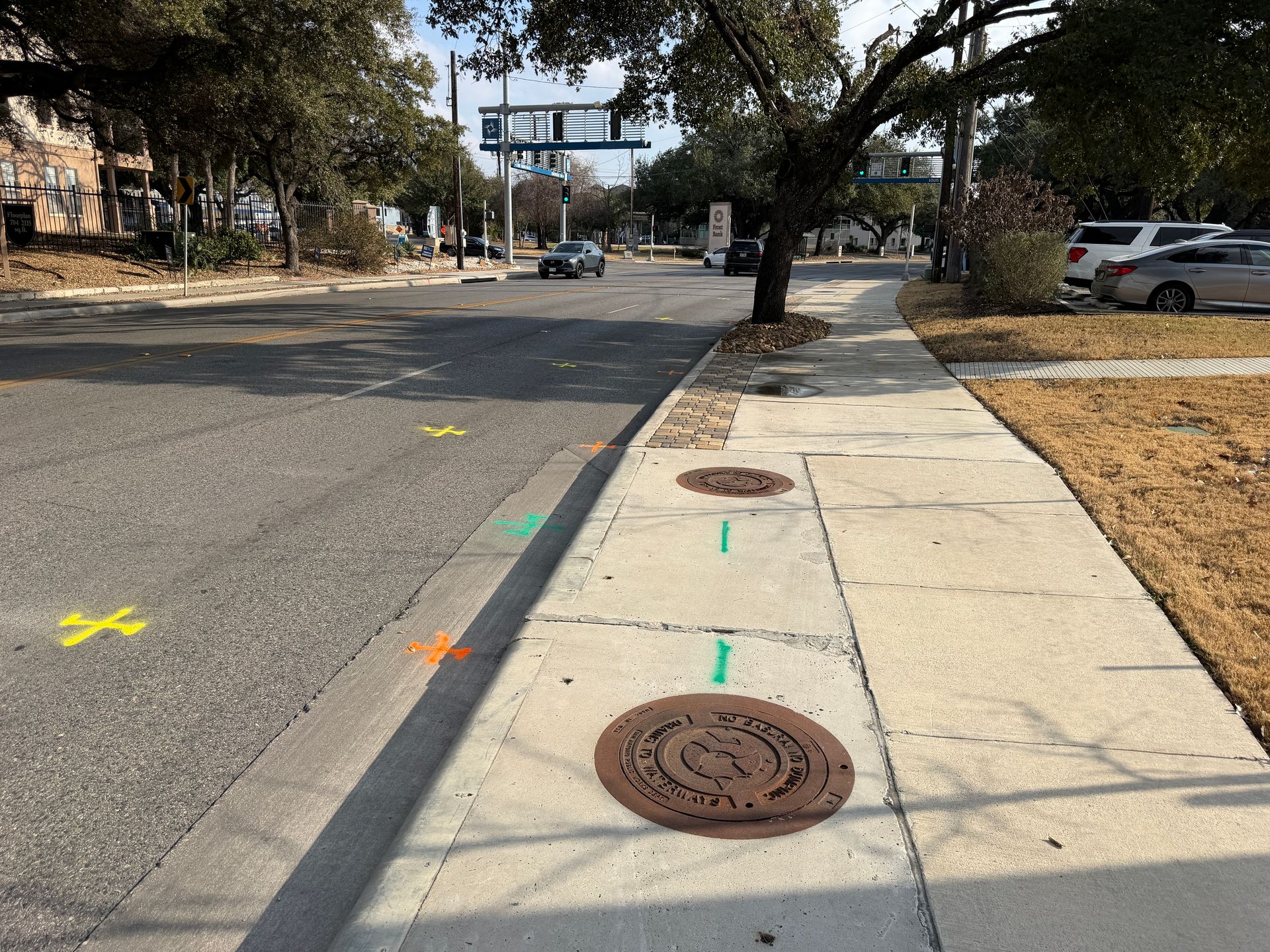
City street with manholes and multi-color utility locate markings
GIS ModernizationField-verified data your system can ingest
Field-VerifiedLocated, not inherited
GIS-ReadyCoordinate data your format
DocumentedDiscrepancies flagged, not buried
Same-day or next-day mobilization
PDF maps & KMZ deliverables included
Private utility locating beyond 811 coverage
The Records Problem

Every GIS layer is only as good as what it inherited

Most municipal utility layers were digitized from paper records that were themselves incomplete, then updated unevenly as decades of projects changed the ground. The result is a system that is authoritative in form and unreliable in fact, and street crews know it.

Field locating closes the loop: verify what is actually there, flag where the layer disagrees, and hand back coordinate data the GIS can ingest, so each project leaves the record better than it found it.

  • GIS layers digitized from incomplete paper records
  • Street rebuild corridors verified before design
  • Drainage and park projects on the least-documented ground
  • Franchise utility coordination in shared corridors
  • Coordinate deliverables in the city's own format

Each verified project should leave the GIS better than it found it.

Technician recording field data on a tablet
Where Cities Use Us

The Projects That Meet the Most Surprises

Public work concentrates on exactly the corridors where records are weakest.

Street & Drainage Rebuilds

Corridor verification before design, so conflicts surface on paper instead of in the excavation.

Learn more →

Parks & Facilities

The least-documented ground a city owns, verified before irrigation, lighting, and structure work.

GIS Modernization

Systematic field verification delivered as coordinate data, upgrading the layer district by district.

Learn more →
EM+GPR
Dual-method locating on every scope
PDF/KMZ
Maps & GPS data included
5 Metros
Austin, Dallas, Houston, Fort Worth, San Antonio
5.0★
Average Google review rating
Common Questions

Municipal Questions

Can you deliver in our GIS format and coordinate system?
Yes. Tell us the coordinate system, datum, and schema before mobilization and the deliverable drops into your system.
How does this fit a SUE scope on a capital project?
Our designating and test holes map to quality levels B and A, which is the language most municipal engineering scopes use. See our subsurface utility engineering page for the framework.
Do you coordinate with franchise utilities?
We locate and document everything findable in the corridor, which gives the city an independent picture to reconcile against franchise records.
Can this work be phased across budget years?
Yes. District-by-district or corridor-by-corridor verification is the normal model for GIS modernization.
Are you set up for public procurement?
Send the solicitation requirements and we will confirm fit before you spend time on it.
What does a typical street rebuild scope look like?
Corridor designating ahead of 30 percent design, test holes at conflict points before 90 percent, and coordinate deliverables into the project record.

Capital project or GIS cleanup ahead?

Send the corridor or district and the timeline. We will scope verification that fits the budget cycle.

Send the Address & Scope
Get in Touch

Ready for field-verified records?

Send the project corridor, the design stage, and your data requirements. We will come back with a scope and schedule.

Texas-wide municipal coverage
QL-B designating and QL-A test holes
Deliverables in your GIS format